The biggest casualty of the recent COVID-19 pandemic was travel, as people were stuck at home. Unfortunately, one of the hobbies severely affected was my love for climbing. Localities closed their borders, and for over two years, I did not have any serious climbs.
Fortunately, around a month ago, I was invited to a climb in the mountain of Tapulao in Zambales. It is a traverse climb that enters Tarlac and exits in Zambales. I have a long mileage in climbing, but Mt. Tapulao was never one that interested me. There are many horror stories about the trail and how it has ruined knees and shoes.
I had been planning this climb, but I couldn't get enough participants to make it economical. I was glad I was invited, and there was some assurance that, admittedly, it was a long trek but not that difficult. Or so I thought...
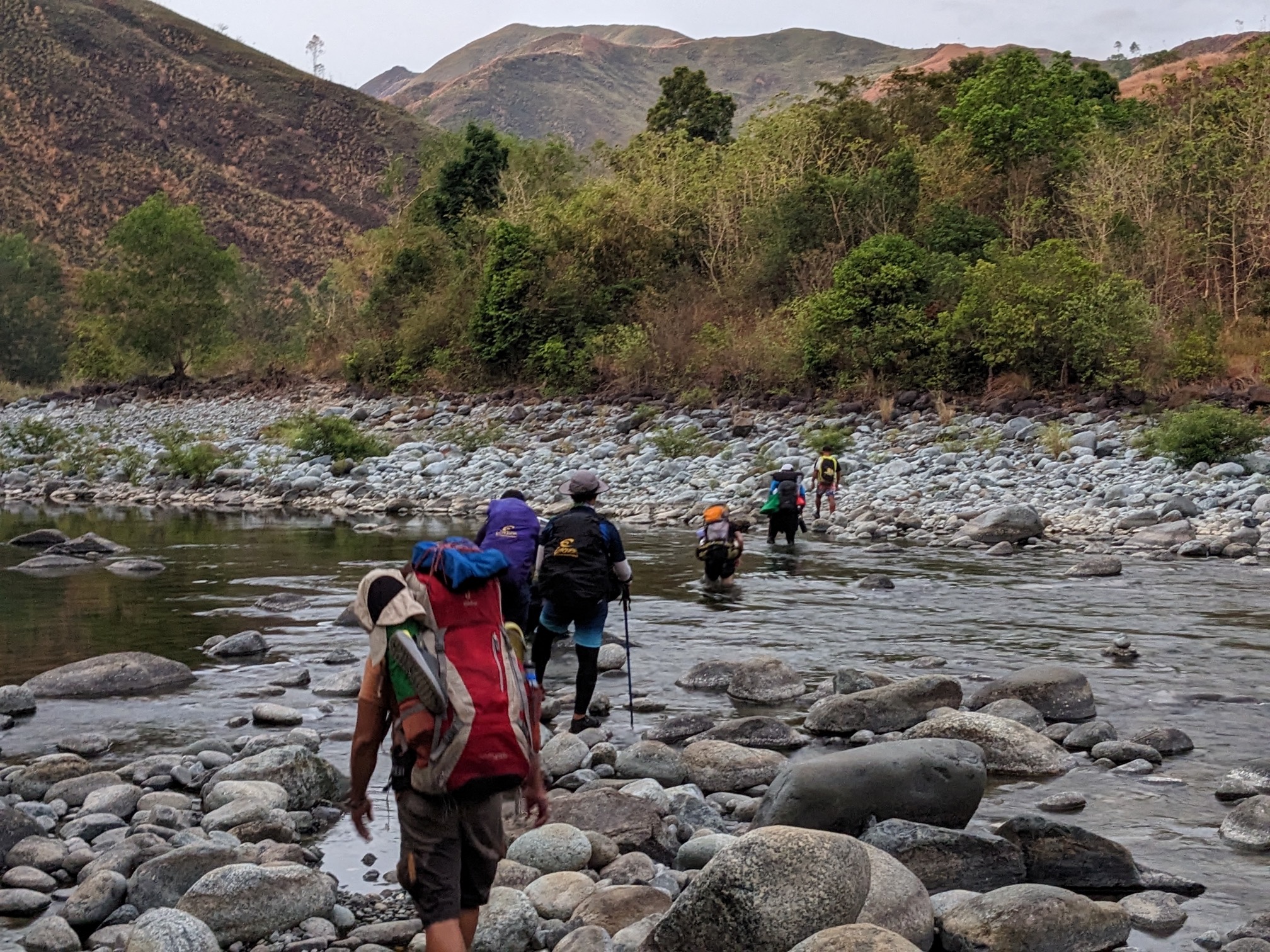
On the first day of the hike, we started immediately after arriving from our travels. The trailhead is where our local guide lives, and I believe all hikers start from this point. The main part of the morning trek was spent in the Labney River basin, crisscrossing the river several times, walking on the rocky riverbank, and sometimes under the shade of river trees. If you have been to the Gasgas River of Mt. Sicapoo, the experience is almost the same. The main difference is that the Labney River is not very clean and is not potable for drinking. Proof of this is that the rocks at the bottom are covered with moss, making it very slippery to cross, probably due to the bacteria that the water holds.
After the river trek, there is a climb to a valley of a mountain adjacent to Mt. Tapulao. It is an open hike and the sun is now at its peak. This is one of the most difficult parts of this hike, probably the lack of sleep which makes it even harder. The forest after the valley is a typical tropical setting. The trail is now rolling (which means less elevation and far from the summit of 2,100MASL) until you reach the forest clearing that leads to the 1st camp. But not before going down one of the most perilous descents I have ever experienced. It is almost 90 degrees, with nothing to hold on to, and the ground is mainly soil with the help of a few rocks. It is not good that you are already tired and the light is almost gone. The 1st day camp was beside the final river crossing in another river named Zambales river. One compensation is that this river is clean and can be used for drinking.
One of the many crossings
Blair witch forest
The trek after the river
A ray of hope
A Hobbit Hole
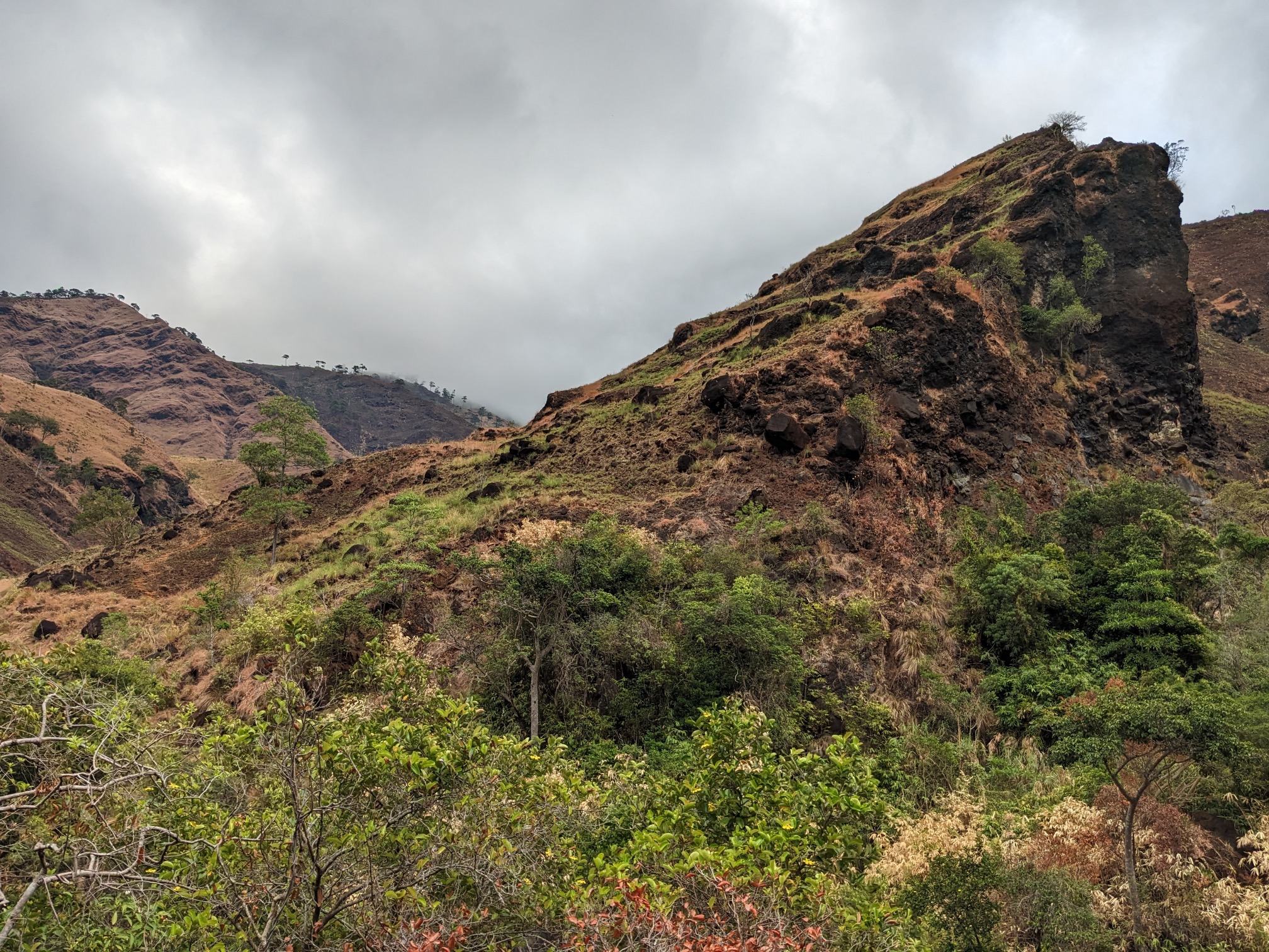
Tapulao in cloud cover, this is the clearing after exiting the forest.
The lonely tree (with our guide beside it)
Trekking near the first camp
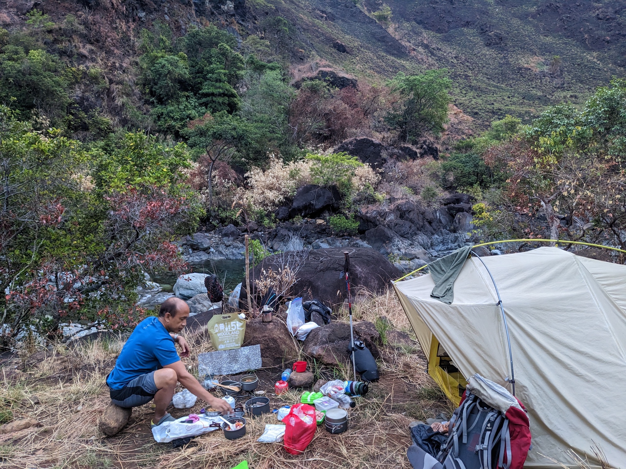
Our river camp
The second day begins with an assault hike from the river camping ground. Once we reach flat ground, the trail becomes covered by a mixture of pine and other trees. This trail is mostly used by hunters, and we come across many of their traps on the ground. Although the traps are communal, our guide takes two of the wild chickens caught in them to cook for dinner. The trail is rolling and located on the sides of the mountains. It is very pristine, and you might get lost if you trek during the dark. The vegetation is very lush and mossy, especially when you reach the cloud level height. As we near the summit, the trail becomes very tight, causing equipment beside our bags to catch on the branches and roots.
Unbeknownst to many, there is a true summit within Tapulao, which is not the 18KM marker we always see on social media. When we reach the camp, we pitch our tent on the ridge of the campsite, enjoying a good view while socializing and eating our meals.
The trek down to the first camp. Very dangerous and difficult
The hunters trail can be seen on the side
Going up from first camp
The view from where we came
A wild animal poop
One of the many hunters traps along the trail
Mossy and pristine
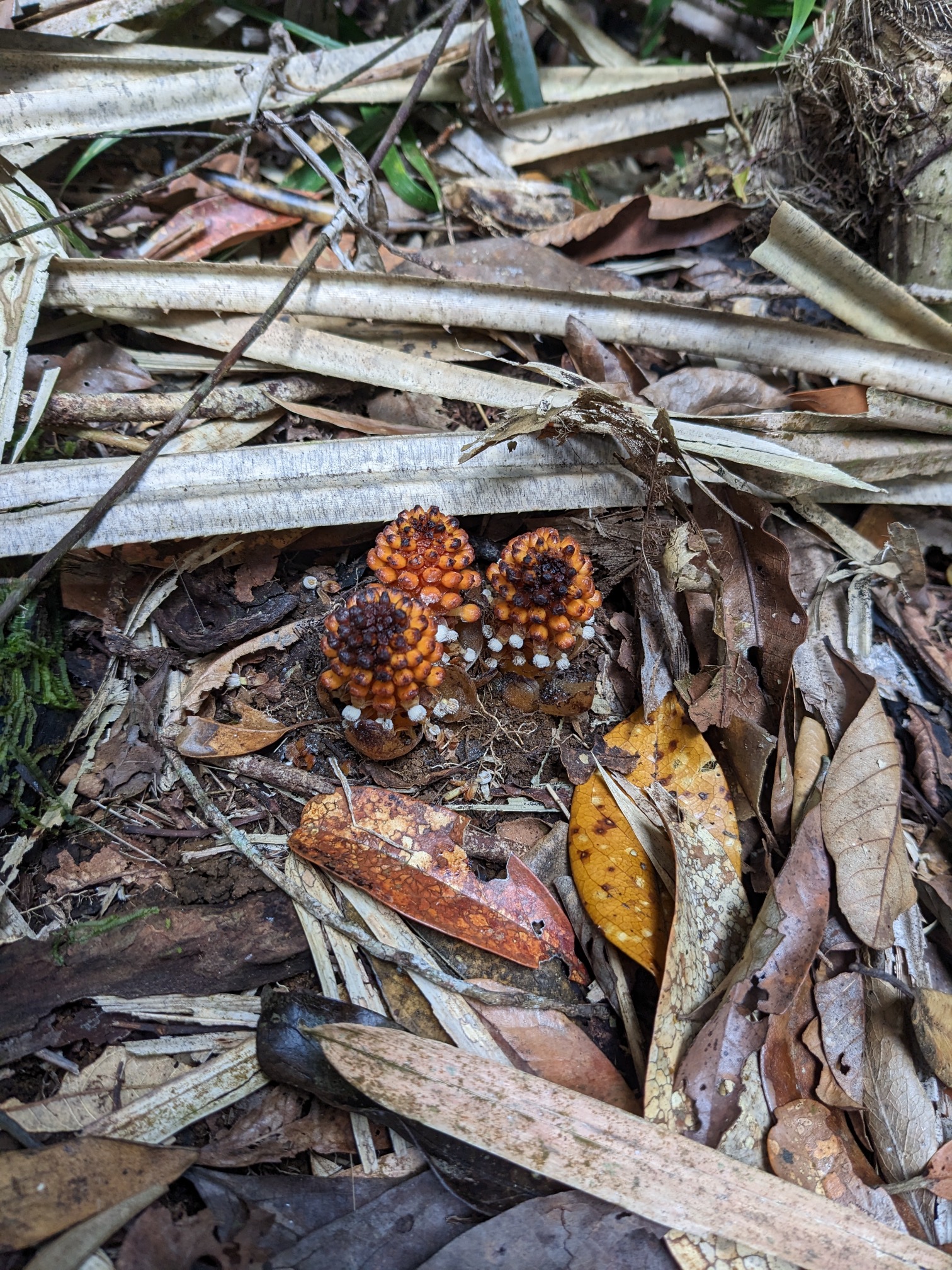
A wild flower that I can't resist to take a pic
So lush they look like noodles
Tapulao mossy forest vid
"True" Summit view
"True" Summit view another angle
Goofing at the summit
Another summit shot with climb buddies
Summit Vid
The 18KM Marker
For the final descent, as expected, the trail became a mining road with large chunks of stones, making navigation very difficult and tough on the knees. This was the main reason why I had avoided this mountain, and if it weren't for the traverse route, I wouldn't have climbed it. The pandemic made the trail even tougher, as there were now large kugon grass on both sides, probably due to less human activity for two years. There were only a few openings where you could see the view of the surroundings, as everything was almost kugon grass. We also saw several motocross bikers trying to climb to the campsite (these bikers destroy the trail). A big part of the trail from the jumpoff/trail head is now paved, making it reachable by vehicles. It would probably take an hour or so more if done on foot
Ahhh, Sunrise. Always lovely on the mountains
Always good to have conversation and meals with a good view
The infamous Mt Tapulao traditional trail. This is previously a mining road
I read an article in the net that if you want to experience Mt. Pinatubo to its post eruption beauty, the time to climb it is now. So when an officemate invited me to a planned trip to Mt. Pinatubo I decided to join (of course I also like to have a little bonding with my co-workers).
The Jump-off starts from Brgy. Sta. Juliana in Tarlac, a Korean company had established/monopolized a resort in this place. I guess all the travelers to Pinatubo needs to pass by them, they are handling the tours in coordination with the locals who are serving as the guide and drivers. After registering, we took a ride in a 4x4 pickup truck that took us to the foot of Mt. Pinatubo crater. As expected the 4x4 ride is very rough, but the uncomfort is overcomed by the scenery along the way. We saw rivers, lroads covered by lahar, Aeta community and some domesticated animals roaming freely. From all of these, the most grand is seeing lahar pillars that I guess were created when mudflows flowed along this area. I also saw from not so far away mountains that maybe are still unexplored. Rightfully speaking, the internet article is correct. Most, if not all the surroundings are now covered in green. From what I've read and saw in pictures, this area use to be like a desert after the volcanoe's explosion and the lahar mudflows. After almost an hour of traveling you will reach the foot of the crater. Its all walk from here. According to our guide, the trek part is now cut in half. Before, you have to walk for about 30-45 minutes to get to the foot of the crater, now this place can also be reach by vehicles. Well, I guess they really want to have a lot of tourist here and develop (commercialize?) the place. From the foot of the crater its about another 45 minutes leisure walk to the crater. The path is passing by a shallow river with rocks and sand. Then you will reach a short stairs climb (about 30 steps) and then its the crater. There is water on the crater that is normally colored green (but they say sometimes it turns blue). You can swim inside the crater lake but mind you its not like a beach that you can walk far into the water and still very shallow. Here after three steps, theres already a chance for you to drown. Looking around there are about two cottages already built around the area, and they are still building more. O well, signs of commercialization (so whats next, Hotels?) .But in fairness the place is well kept clean. I just hope they could keep it this way. After spending a few hours looking, dipping and feeling the place we decided to head back home. Mt. Pinatubo adventure is a good experience specially for those who like to see good nature beauty with minor sweat. But if you are looking for a complete outdoor experience I suggest you try another trail going to this mountain (currently there are three existing Mt. Pinatubo trails).